Maps Maps Maps: Part 1
There’s something fascinating about maps. I particularly love how they have this kind of fractal level of detail as you zoom in and out. Look at this one, I really like the minimalist black and white design.
These black and white map tiles are from Stamen design, essentially a really nice style sheet on top of © OpenStreetMap contributor data. The rest are OS Maps from the National Library of Scotland. The viewer is leaflet.js.
In related news, my excellent co-working space / carpentry workshop / pottery studio currently has a massive laser cutter which we may or may not keep for the long term.
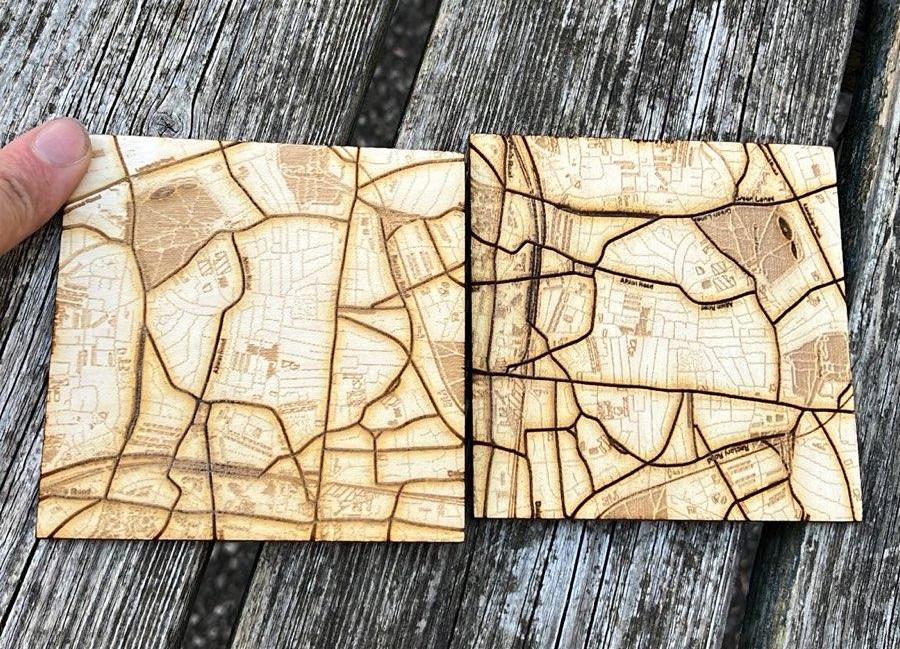
Given the laser cutter is so massive I thought it might be fun to try to produce a huge map. There’s a spot at the top of the stairs in our flat that I think could be nice for it. My partner and I have always always lived somewhere in this vertical strip of london so the tall thin shape has some significance.

Given how long those took to cut, I’m thinking that I’ll split the design into multiple panels so I don’t have to babysit the laser cutter for 24 hours.
Let’s see how that pans out next time!